
Santa Rosa ZIP Areas at a Glance
These are broad service areas, not legal boundaries or exact neighborhood polygons. USPS lookup should validate a specific address. These rows provide the useful first pass for a Santa Rosa ZIP code directory and show where a postal label can mislead a records search.
| ZIP | Broad areas served | Post-office status | Notes |
|---|---|---|---|
| 95401 | west/central-west and part of Roseland | street delivery | Includes city and county-edge geography |
| 95402 | Santa Rosa | PO-box-only | Not a neighborhood polygon |
| 95403 | north/northwest/Coddingtown/Fountaingrove/county-edge | street delivery | Postal city can cross incorporation |
| 95404 | downtown/central/northeast | street delivery | Includes the original-grid core |
| 95405 | southeast/Montgomery Village/Bennett Valley | street delivery | Neighborhood descriptions are approximate |
| 95407 | southwest/Roseland/Bellevue | street delivery | Key annexation and county-island mismatch |
| 95409 | east/Rincon Valley/Oakmont | street delivery | Extends toward the eastern edge |
Available postal sources do not confirm USPS station names, station addresses, unique postal codes, or a historical ZIP realignment year. Do not turn a broad service description into a claim about every block.
Santa Rosa ZIP Areas Are Not City Limits
A postal code organizes mail delivery. A city boundary controls municipal records and permits. A parcel's situs identifies the physical land. A tax mailing address routes notices. Those four layers can disagree while every label remains correct. Santa Rosa's postal directory is useful only when the search keeps the layers separate.
For a records request, start with the parcel map or the Sonoma County GIS Hub, then decide whether the City of Santa Rosa or Permit Sonoma holds the permit and code file. County ActiveMap chiefly describes unincorporated Sonoma County, while Santa Rosa GIS maps serve incorporated resources. A Santa Rosa postal address alone cannot settle the question.
Use an official postal ZIP lookup to validate one exact address, then use the relevant custodian's portal. Postal facts and assessment facts answer different questions. A postal code in a current lookup identifies delivery routing, while a deed's legal description remains the land identifier when a street label or APN is unclear.
Santa Rosa Roseland ZIP History
Roseland is the strongest geography example in Santa Rosa postal records. Beginning in 2013, Santa Rosa pursued a roughly 714-acre five-island annexation involving five formerly unincorporated islands: Roseland, Victoria Drive, West Hearn Avenue, Brittain Lane, and West Third Street. Official address material shows Santa Rosa mailing city and ZIP 95401 or 95407 before incorporation. Postal continuity did not mean municipal continuity.
That distinction changes where a permit or code record lives. A city parcel report can state “outside city limits” and route a reader to Permit Sonoma even when the mailing locality says Santa Rosa. For an older address, keep the date of the record beside the jurisdiction. A current city boundary does not rewrite the custodian of an earlier event.
The Sonoma Registrar of Voters office page documents the local channel for voter-file questions and helps distinguish a county source from a ZIP browse.
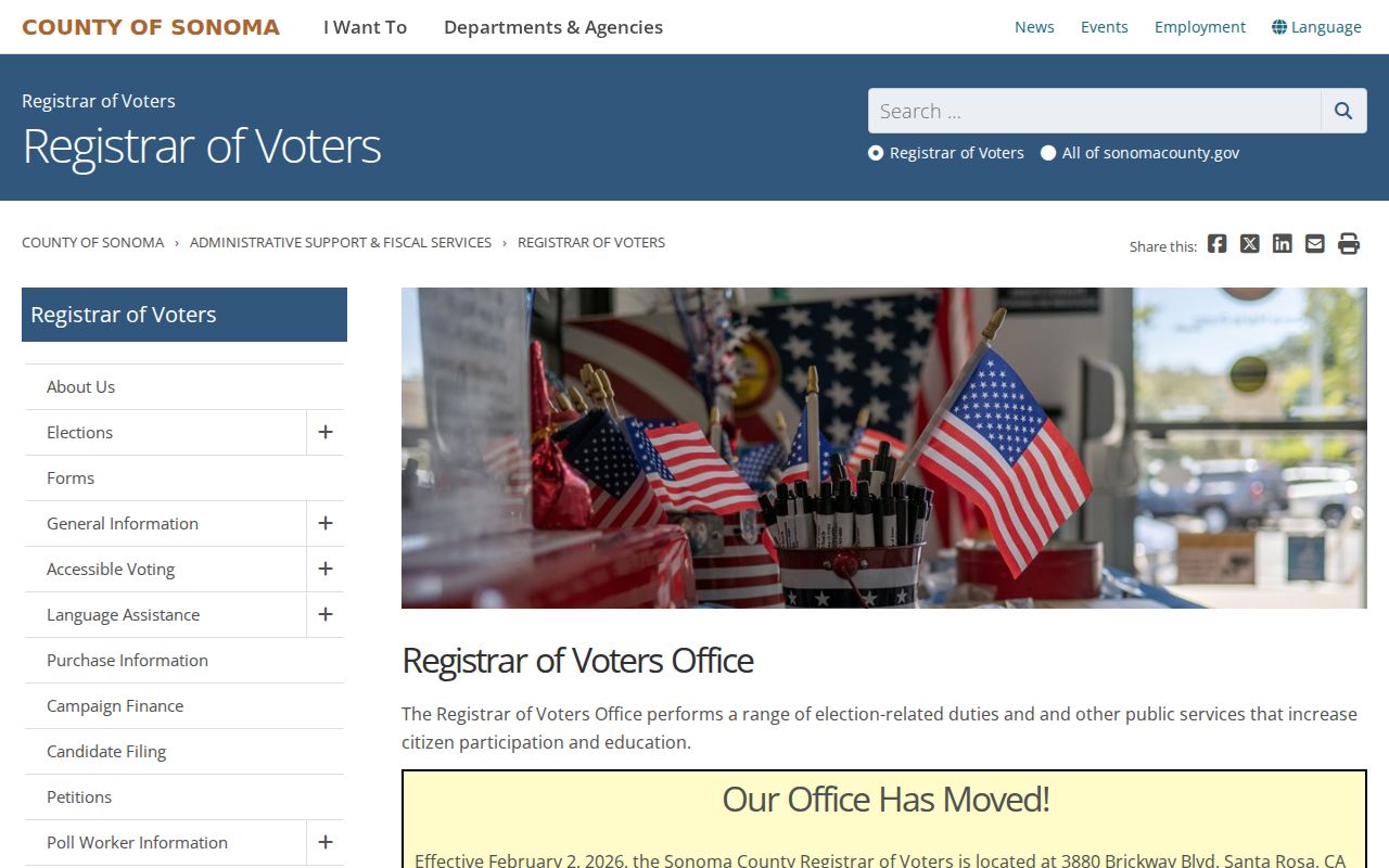
Voter-file access is county and state governed, not a postal browse, even when the starting clue is a ZIP.
Downtown 95404 and Santa Rosa ZIP Geography
Santa Rosa's original 1853 rectangular plan centered on the plaza, now Courthouse Square. The 1854 plat covered roughly First through Fifth Streets, with Morgan west and just beyond E Street east. Third, Fourth, and Mendocino remain useful downtown axes, but later additions and subdivisions made the grid less simple.
A postal code can help place a historical question in a broad area, but it cannot settle an old street address. Pair the postal clue with a parcel or legal description, a city directory issue, and Sanborn maps from 1893, 1897, 1908, or 1954/1957. No authoritative citywide street-renumbering project or year was located in the research.
Find Santa Rosa Residents by ZIP
A ZIP code narrows a place, but it does not create a public list of everyone there. Use it as a filter in a source that actually supports it, then move to a parcel, name, or record identifier.
- Validate the exact address and ZIP with USPS, especially near a county edge or PO-box route.
- Check city or county GIS to identify the incorporated jurisdiction.
- Use the assessor's street-address mode to find the parcel, not a ZIP-wide resident list.
- Use a permitted official source, such as an authorized voter-file request or a limited name-and-ZIP search, for its stated purpose.
- Move from the ZIP to the street and APN when a deed, permit, directory, or court record is needed.
The Santa Rosa street directory workflow takes over once a ZIP has narrowed the search to an address. Keep the original ZIP and the validation date in your notes.
Santa Rosa Assessor ZIP Limits
The Sonoma County Assessor Parcel Search supports FEE PARCEL, ASSESSMENT, and STREET ADDRESS modes. Its result includes parcel information, assessment facts, value notices, Proposition 8 notices, and a map. It does not include owner names online and does not offer a ZIP search that returns residents. The office assessment roll is the counter fallback for assessed-owner information.
| Field label | Type | Required | Options or format notes |
|---|---|---|---|
| SEARCH BY | dropdown | yes | FEE PARCEL (default); ASSESSMENT; STREET ADDRESS |
| FEE PARCEL / Assessment / Address | text | yes | Dynamic label; address tips omit Street, Road, Drive, and Lane; use W for West |
| Search | button | not applicable | Executes the selected mode |
| Quick Search | text | no | Displayed text: Enter FEE PARCEL |
| Cancel | button | not applicable | Clears or returns |
The parcel map is an assessment aid and does not establish a legal parcel or building site. Owner mailing and situs differences can suggest a separate notice destination, but they do not identify household members. A ZIP search must not promise more than the source fields provide. Maps update monthly, while roll data reflects the most recently published roll. Assessment records may be viewed free at the office and copies purchased.
The California voter-file request instructions show the restricted route when an authorized request uses ZIP-related geography.
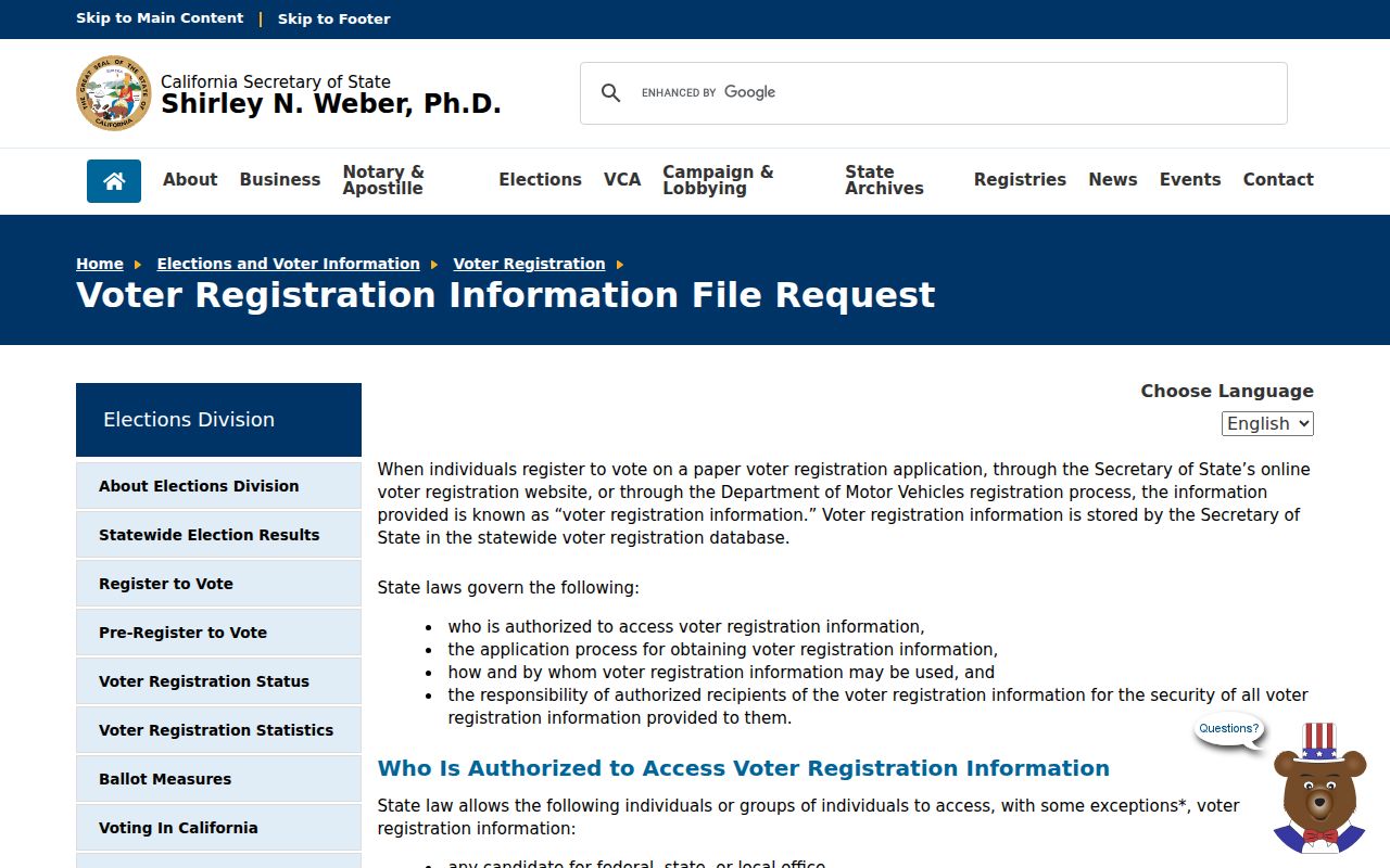
A broad geography does not remove identity and purpose rules from an authorized voter-file request.
Santa Rosa Voter Files and ZIP Limits
California's My Voter Status lookup is an authenticated self-lookup requiring name, full date of birth, and an identity field. It cannot browse Santa Rosa by ZIP. An authorized voter-file request may include residence and mailing addresses, ZIP-related geography, precinct, registration status, and participation history, but California Elections Code §2194 controls who may request it and why. The regulated fee is $15 per 1,000 records, capped at $100.
Protected voter addresses, signatures, identification numbers, and Safe at Home participants remain restricted. Do not treat ZIP data as permission to build a private list from election data. The Registrar's office is at 435 Fiscal Drive, Santa Rosa, with mail at PO Box 11485, Santa Rosa, California 95406, phone 707-565-6800, 800-750-VOTE, and fax 707-565-6843. Posted hours are Monday, Tuesday, Thursday, and Friday 8-5, and Wednesday 8-4. General questions go to rov-info@sonomacounty.gov, registration questions to rov-voterreg@sonomacounty.gov, and voter data or map questions to rov-materials@sonomacounty.gov.
Refine a Name With Santa Rosa ZIP Data
California's unclaimed-property portal allows a last or business name or Property ID, with optional first name, city, and ZIP. It returns exact and similar names and supports a claim path. That makes ZIP a useful refinement for family research or an old mailing clue, but the result is not a resident roll. A similar name can belong to another person.
The California unclaimed-property search shows the limited city and ZIP refinement fields.
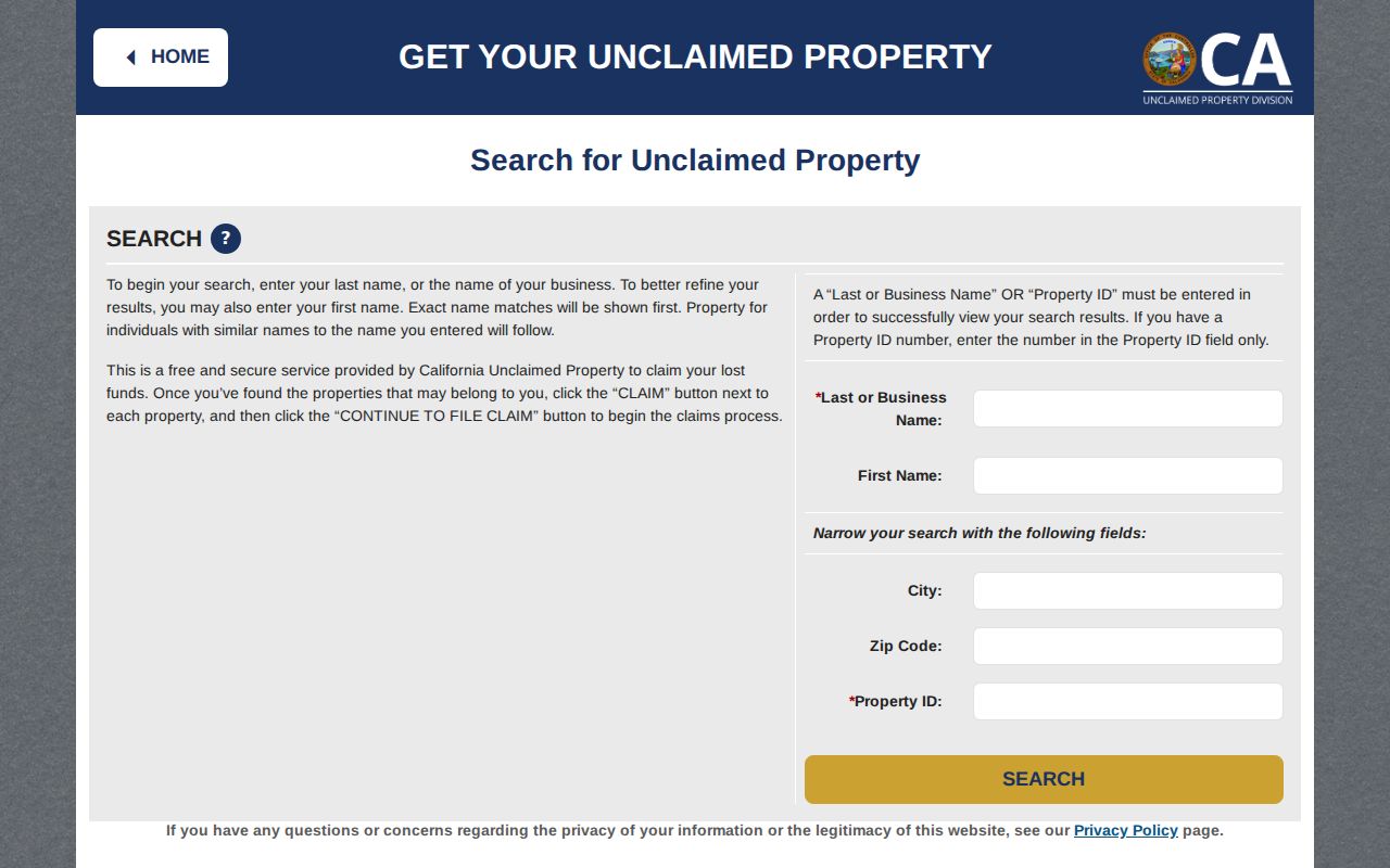
That narrow name-and-place route still calls for comparison with an official address, date, relative, deed, court, or library record.
Confirm any lead with an official address, date, relative, deed, court, or library record. Do not infer present residence from dormant property. The State Controller search is free, so an upfront-fee demand is a scam warning.
Route Santa Rosa ZIP Records by Jurisdiction
The Permit Santa Rosa search accepts address, permit type, subtype, status, title, and dates. It includes a Santa Rosa location choice, Council Districts 1-7, and a Tubbs Fire Zone filter. The newer Citizen Access portal adds property, enforcement, engineering, fire, planning, water, and geographic document modules, with an account needed for payment, applications, and all service functions.
A ZIP is not a permit-custodian field. Use the parcel result and boundary check first. If the parcel is outside the city, route the request to Permit Sonoma. If it is incorporated, use the City's records index or permit system. An older permit may have been kept under a different jurisdiction than a current one.
For an identifiable existing city record that is not in a direct portal, start with the Santa Rosa public-records request route. The California Public Records Act generally calls for a determination within 10 days, with a written extension of up to 14 days in specified unusual circumstances. Inspection is generally free, but the Act does not require the City to create a new ZIP-wide resident record or answer an open-ended question.
The California Megan's Law website is a separate official registry source with its own scope and disclaimer, even when a ZIP is part of the searcher's starting clue.
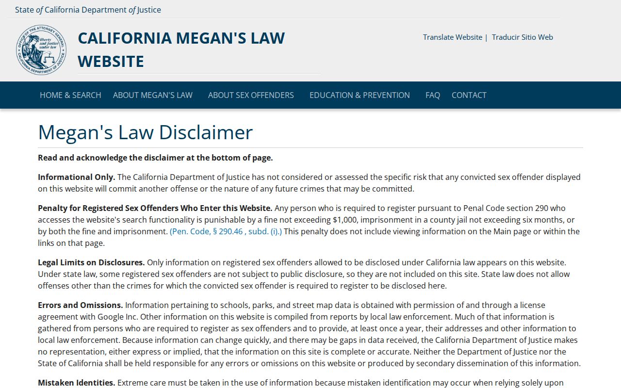
An official dataset can be public without becoming a complete ZIP directory.
Santa Rosa ZIP Terms and Gaps
Postal terms help explain why a ZIP search can be precise for delivery but broad for records. A postal code can be exact for a mailing route while remaining too broad to identify a parcel or person.
- ZIP+4
- An added four-digit delivery extension; it is more precise than a five-digit ZIP but not a city boundary.
- PO-box-only ZIP
- A code used for post-office boxes rather than a neighborhood street-delivery polygon, such as the researched role of 95402.
- Unique ZIP
- A code assigned to one organization or limited delivery function; no Santa Rosa unique ZIP was verified in this research.
- Carrier route
- A delivery route inside postal geography, not a public resident list or parcel jurisdiction.
Available sources do not confirm a historical ZIP realignment or renumbering year, an official station list, or an exhaustive historical address conversion. No authoritative citywide street-renumbering project and year was located either. For an old Santa Rosa place, use a city directory, Sanborn map, deed legal description, and library guidance rather than inventing a ZIP history. The Sonoma County digitized directory collection supplies issue-specific residence, business, and telephone material across a broad 1870s to early-1950s range. A historical ZIP code directory can guide a search only after the period and jurisdiction are confirmed. ZIP facts narrow the question; they do not finish it.