
Looking Up Santa Rosa Neighbors
A block lookup should name what each source actually shows. GIS identifies touching parcels and jurisdiction. The assessor Internet result supplies situs, APN, assessment facts, and a map, but no owner name. The office roll can identify an assessed owner for a specific legitimate purpose. The recorder adds transfer instruments only after a name bridge. Permits show work and dates. Community groups offer voluntary contact routes, not private rosters.
| Source | What it shows about a block | Access |
|---|---|---|
| City or county GIS | Touching parcels, geography, jurisdiction, available layers | Free public map |
| Assessor parcel search | Each parcel's situs, APN, values, notices, map | Free Internet; no owner name |
| Assessor office roll | Assessed owner and roll or mailing facts | Counter inspection or copies |
| Recorder | Transfer documents after a party-name bridge | Index, office view, and copies |
| Permit systems | Nearby construction, status, type, and dates | Free basic search |
| Neighborhood groups | Public association contact or join channel | City inventory; no member list |
Owners, occupants, and neighbors are not the same category. An assessed owner can receive notices elsewhere. A community group can welcome a new contact without publishing its members. A map can show a parcel without naming anyone.
Map a Santa Rosa Block From One Address
Use an APN-based method to keep the search tied to land rather than guesses about names. No Santa Rosa source confirms a buffer or radius control or exact popup or export labels. Use the tools that are visible and click parcels individually.
- Locate the address in Santa Rosa GIS or the appropriate Sonoma County map and save the subject APN.
- Zoom until parcel polygons are visible, then click each parcel touching the subject.
- Run each APN through the assessor search for situs, value, notices, and map facts.
- Use the office roll only for a specific lawful public-record purpose and keep assessed-owner facts separate.
- Move to the recorder or permit system when a transfer or project record is needed.
The Santa Rosa street directory address chain takes over when the question expands from an immediate block to every parcel along a named street.
Use Santa Rosa GIS for Adjacent Parcels
The Sonoma County GIS Hub provides county viewers and datasets, while Santa Rosa GIS Maps and Documents supplies city map links. County ActiveMap chiefly describes unincorporated land. Incorporated Santa Rosa needs city resources. Layer coverage varies, so write the map name and date beside every observation.
Clicking adjacent parcels can show how a block divides, where a city edge runs, and which parcels need separate assessor searches. It does not reveal a verified private household. Do not infer a neighbor's identity from a parcel shape, mail label, or map symbol.
Take Owner Questions to the Santa Rosa Roll
The assessor's Internet result intentionally leaves out owner names. It supports FEE PARCEL, ASSESSMENT, and STREET ADDRESS modes, and can return APN, situs, assessment data, value-change notices, Proposition 8 notices, and a parcel map. The assessment roll at the office is the documented fallback for assessed-owner facts and mailing information.
An assessed owner is not necessarily the current legal owner because assessment updates can lag recordings. A mailing address is not proof of occupancy. The roll also does not list every person at a parcel. These limits make the counter a source for a defined record question, not a shortcut to a block roster.
When a name is obtained lawfully, use the recorder's party index to inspect a deed or other recorded instrument, matching the legal description. The image can clarify a transfer, but it still does not say who lives in the building.
Compare Permit Activity Along the Block
Permit Santa Rosa searches permit number, type, subtype, status, title, address, and date range. Location filters include Santa Rosa, Council Districts 1-7, and a Tubbs Fire Zone. The public system can reveal work history, inspections, project documents, or a code case when the record is available. Citizen Access adds property, enforcement, engineering, fire, planning, water, and geographic document modules, with an account needed for full transactions.
Permit records describe an official project or work event. They are not a current neighbor list. For a parcel outside city limits, route the search to Permit Sonoma. A Santa Rosa mailing label and ZIP cannot decide the custodian.
Find Santa Rosa Neighborhood Groups
The City's neighborhood inventory supplies public contact and join channels. It does not assert that a group publishes a member directory. A person who wants to meet neighbors can use the association route without asking a voluntary group to disclose private names.
| Citywide and historic | Concerned Citizens for Santa Rosa; Historical Society of Santa Rosa |
|---|---|
| Downtown and central | Burbank Gardens; Greater Cherry Street; Junior College; Ridgway Historic; West End downtown |
| Northeast | Edgewood Farms; Fountaingrove II; Fountaingrove Ranch Master Association; Lomita Heights; Oakmont Village; Paulin Creek |
| Northwest | Former Francisco Avenue Association; Coffey Strong |
| Southeast | Bennett Valley; Southeast Greenway; South Park Coalition |
| Southwest | Roseland community group |
The Santa Rosa neighborhood-groups page invites additions through a submission form. Treat it as a public community directory, not as evidence that a named person belongs to a group.
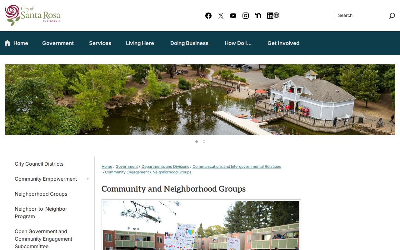
The City inventory capture shows the appropriate community-contact layer for a Santa Rosa neighbors search.
Separate Association, ZIP, and City Lines
Santa Rosa neighborhoods are described by several overlapping geographies. Roseland's formerly unincorporated islands used Santa Rosa mailing addresses and ZIP 95401 or 95407 before annexation. Association territory can cross or stop at a city edge. A ZIP code organizes delivery. An assessment parcel identifies land. None of these labels, by itself, tells who lives nearby.
The former Francisco Avenue area is notable because many addresses are classified as unincorporated county even while residents are affected by Santa Rosa. A block map should record the jurisdiction and the source date. That small note prevents a county layer from being applied to a city parcel.
Know What Voter Law Allows on a Block
California My Voter Status is a self-lookup requiring first name, last name, date of birth, and an identity detail. It cannot browse other Santa Rosa neighbors. An authorized voter-file release may contain residence and mailing addresses, precinct, status, and participation history for a qualifying election, scholarly, journalistic, political, or governmental purpose. Elections Code §2194 and related regulations restrict the use, and personal solicitation or harassment is prohibited.
Safe at Home supplies a designated mailing address and confidential voter registration for eligible participants. Protected voter data, signatures, identification numbers, and prior registration details remain restricted. A public block search must not be built by treating voter records as an unrestricted directory.
Read the California Safe at Home information before making a request that could expose a protected residence.
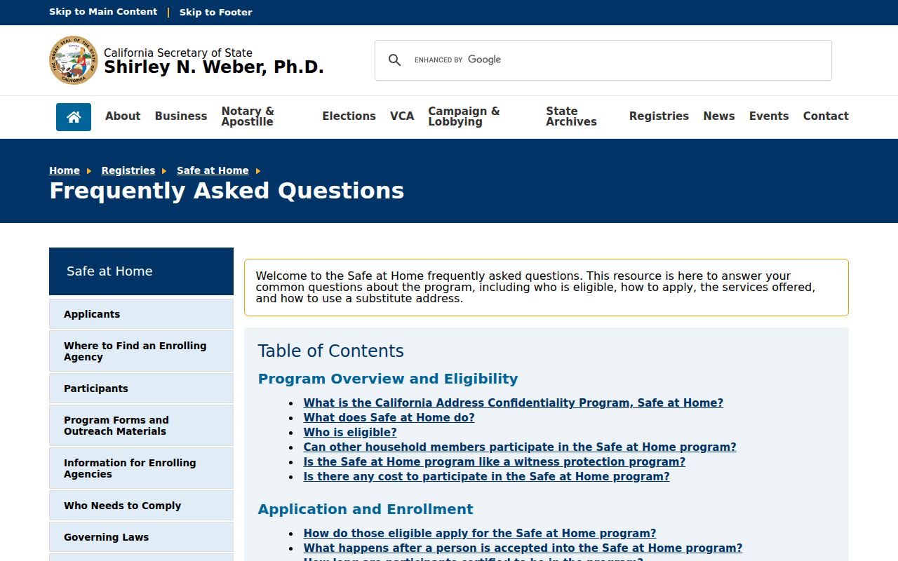
The Safe at Home capture shows why a privacy program can remove a person from an ordinary block lookup.
Use California Privacy Tools for Neighbors
California Consumer Privacy Act rights under Civil Code §1798.100 and following sections can include knowing, deleting subject to exceptions, correcting, opting out of sale or sharing, limiting certain sensitive-information use, and avoiding discrimination for covered consumers. Public government-record information is excluded in important respects. Deleting a broker profile does not erase the recorder, court, assessor, or library source.
California's DROP platform, launched in 2026, lets one encrypted request reach more than 500 registered data brokers. A user confirms California residency and creates a matching profile. Brokers begin deletion and ongoing non-sale duties August 1, 2026. This is a privacy-control route, not a neighbor search.
Use the official California DROP platform and California privacy-rights explanation when the goal is to reduce broker exposure rather than identify another person.
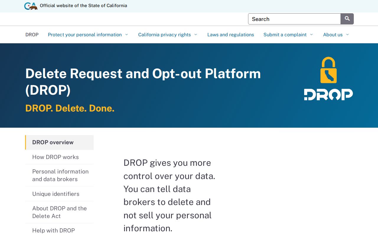
The DROP capture illustrates a person-centered privacy action that is separate from public parcel research.
The California Consumer Privacy Act explanation supplies the source for the separate correction and deletion rights shown next.
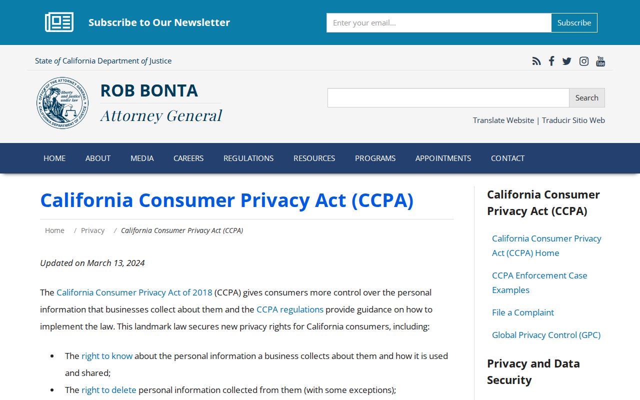
The CCPA resource clarifies why a public source and a commercial compilation have different correction paths.
Find Earlier Santa Rosa Block Households
For older neighbors, use the Sonoma County directory collection, public census schedules through 1950, Press Democrat microfilm from 1897-1969, earlier newspaper runs, and Sanborn maps. A city directory can show a listed person, occupation, business, and address in one issue. A census captures a household on one date. A map shows structures and use. Pair the layers rather than calling one a complete block roster.
The 1906 earthquake changed downtown buildings and business addresses. The 2017 Tubbs fire created permit and rebuilding trails. Local history collections, oral histories, and archives can explain a block's change even when a modern portal has no old name field.
Compare Official Rolls With Compilations
Generic commercial neighbor compilations can merge same-name people, stale addresses, and protected or missing data. Official sources are slower, but each has a custodian, a defined field set, and a correction route. Use the comparison to decide what a result is worth.
| Source type | Strength | Limit |
|---|---|---|
| GIS and assessor | Parcel and jurisdiction anchor | No online owner names or household list |
| Recorder | Recorded party and legal instrument | Needs name bridge; not an occupancy roll |
| Permit system | Address work and dates | Documents projects, not every person |
| Community group | Voluntary way to meet or contact a group | No asserted member roster |
| Commercial compilation | May combine many feeds | Stale, merged, and lacking official correction status |
Lawful use. Santa Rosa neighbors research supports a safe, respectful understanding of a block and lawful civic or family work. Do not use a map, roll, group contact, or compilation to stalk, harass, intimidate, or harm anyone.